A few cookies help us improve Places. We don't sell your data or use them for ads.
Privacy policy
Reject
Accept
Skip to main content
Sign in
Get Started
About
Who is it for?
For destinations
For visitor centers and tourist offices
For parks & nature
For national parks and protected areas
For cities
For city centers and local business organizations
For communities
For interest organizations and communities
Help
Community Maps
Community Maps
Langmyrbua
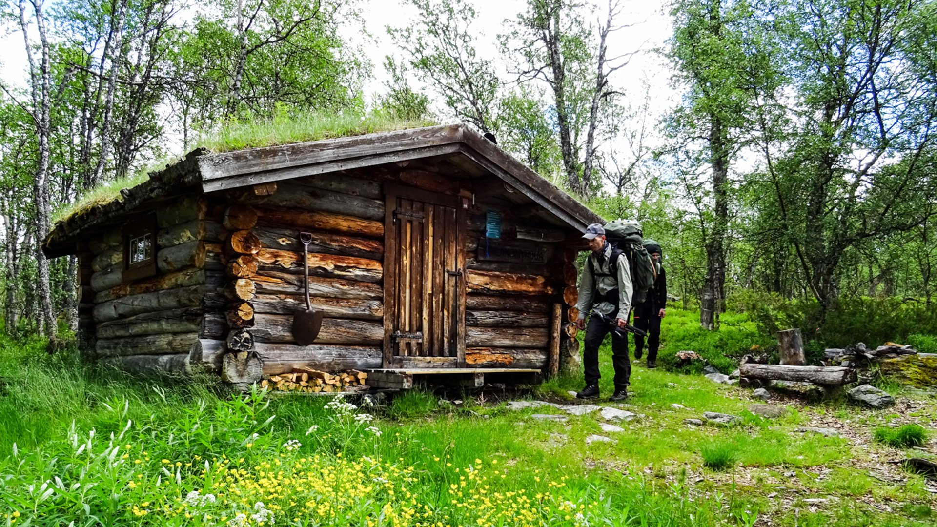
Langmyrbua. Foto: Bjarne Sætrang (Femundsmarka nasjonalpark)
Langmyrbua
Location
62.417941, 12.052512
Copy link
Google Maps
Featured in:
Femundsmarka og Gutulia nasjonalparker
About place:
Åpen Statskog-bu med 3 soveplasser, satt i stand 1979–80 der det tidligere sto ei slåttbu fra 1791 under gården Nordvika. Lettgått turterreng med fiske. Følg DNT-stien fra Langen via Nordvika, ca. 16 km.
Read more
Les mer
View on Femundsmarka og Gutulia nasjonalparker
Link copied!