Put your natural area on the map
An interactive, contributor-driven map of your park, visitor centre or natural area, easy to keep current, translated for every visitor, and ready to embed on your own website.
Already mapping national parks and visitor centres like Raet and Ytre Hvaler.
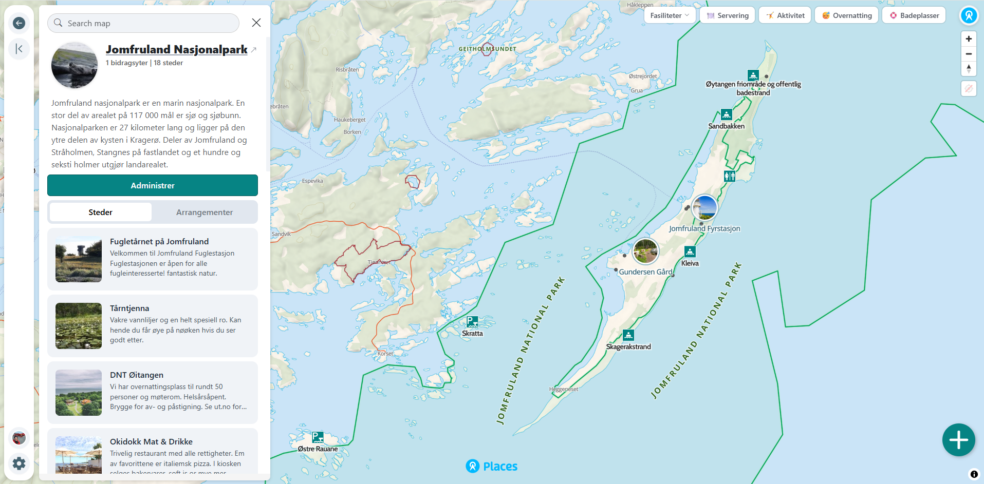
One digital gateway to the national park
Visitor information is often scattered across websites, PDF maps, signs, trail platforms and different organisations. Places brings places, routes, facilities, events and important guidance together in one living map, then makes the information available on mobile, in multiple languages, through search engines and AI assistants. This makes it easier to guide visitors and help them make good choices in the area.

For us as a visitor centre for a large national park, Places is an extremely useful tool. At last we have a map solution where we can show where in the national park our events take place, highlight important visitor sites, and make it easy to find our partners. Everything comes together in one living, clear map that makes it easier to discover and explore Raet National Park.
Designed to fit your identity and landscape
Make the map feel like a natural part of your organisation and website. Use your own colours, icons and branding, or apply established design systems such as Norway’s national park identity. Official boundaries, basemaps and relevant datasets can be added to reflect the area accurately.
- Custom colours, icons and visual identity
- Support for established design systems and brand guidelines
- Official boundaries, basemaps and geographic data
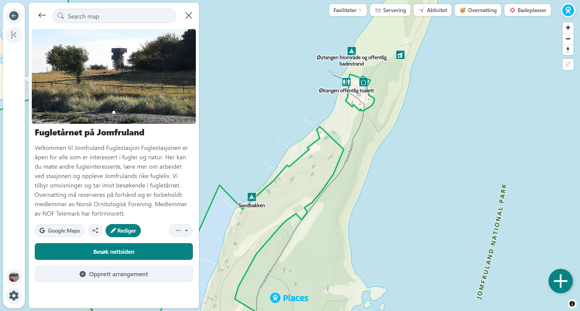
Keep your map current without a GIS team
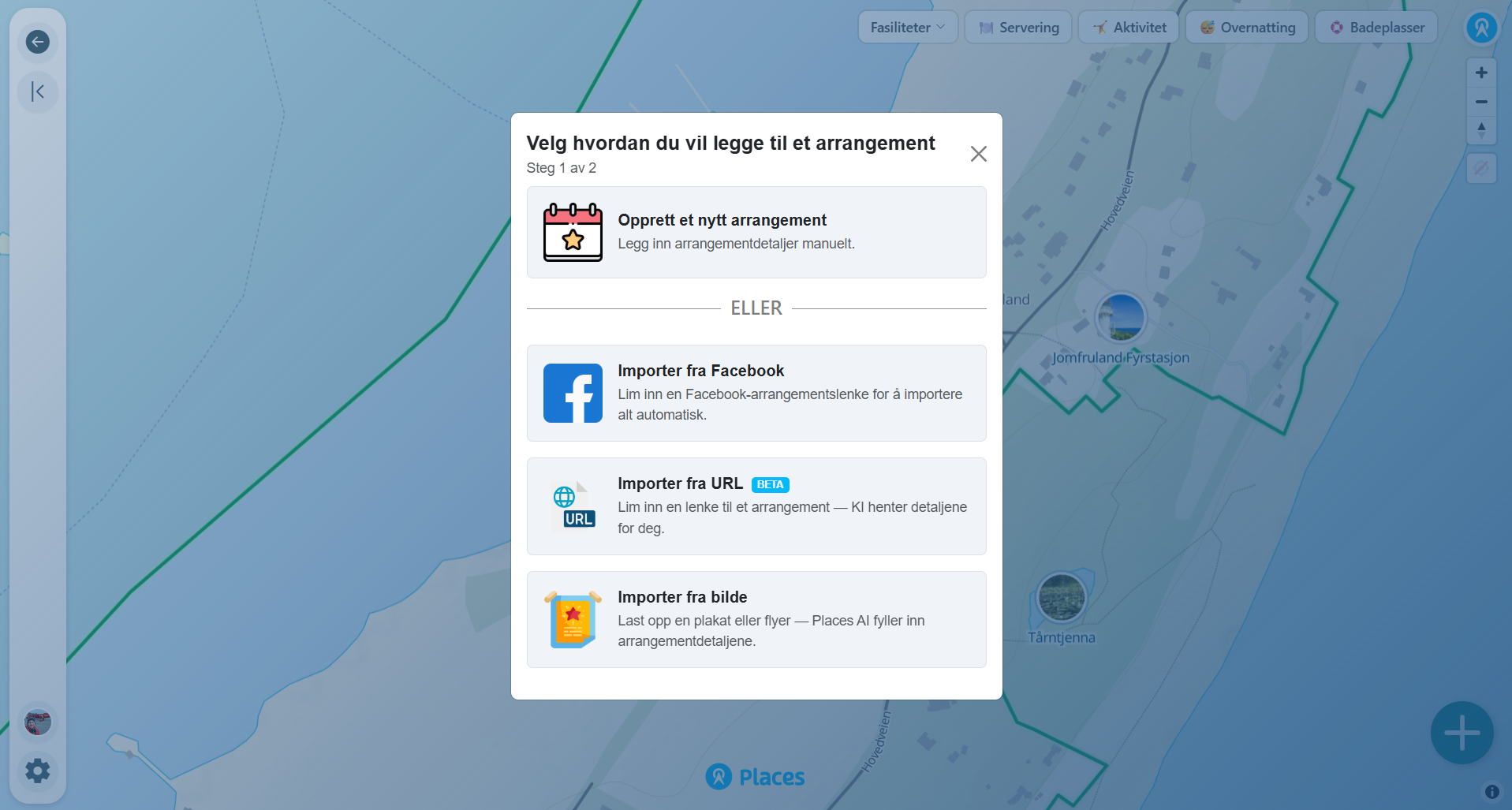
Bring in what you already have. We import your data from digital or print maps so you don't start from a blank page. Invite colleagues and partners as collaborators, and keep the map alive with events imported straight from Facebook or from any event page using our AI agent.
- We import your existing digital or print map data
- Add collaborators across your team and partners
- Import from Facebook, any event page, or a poster. AI fills in the details
Works for every visitor, in their language
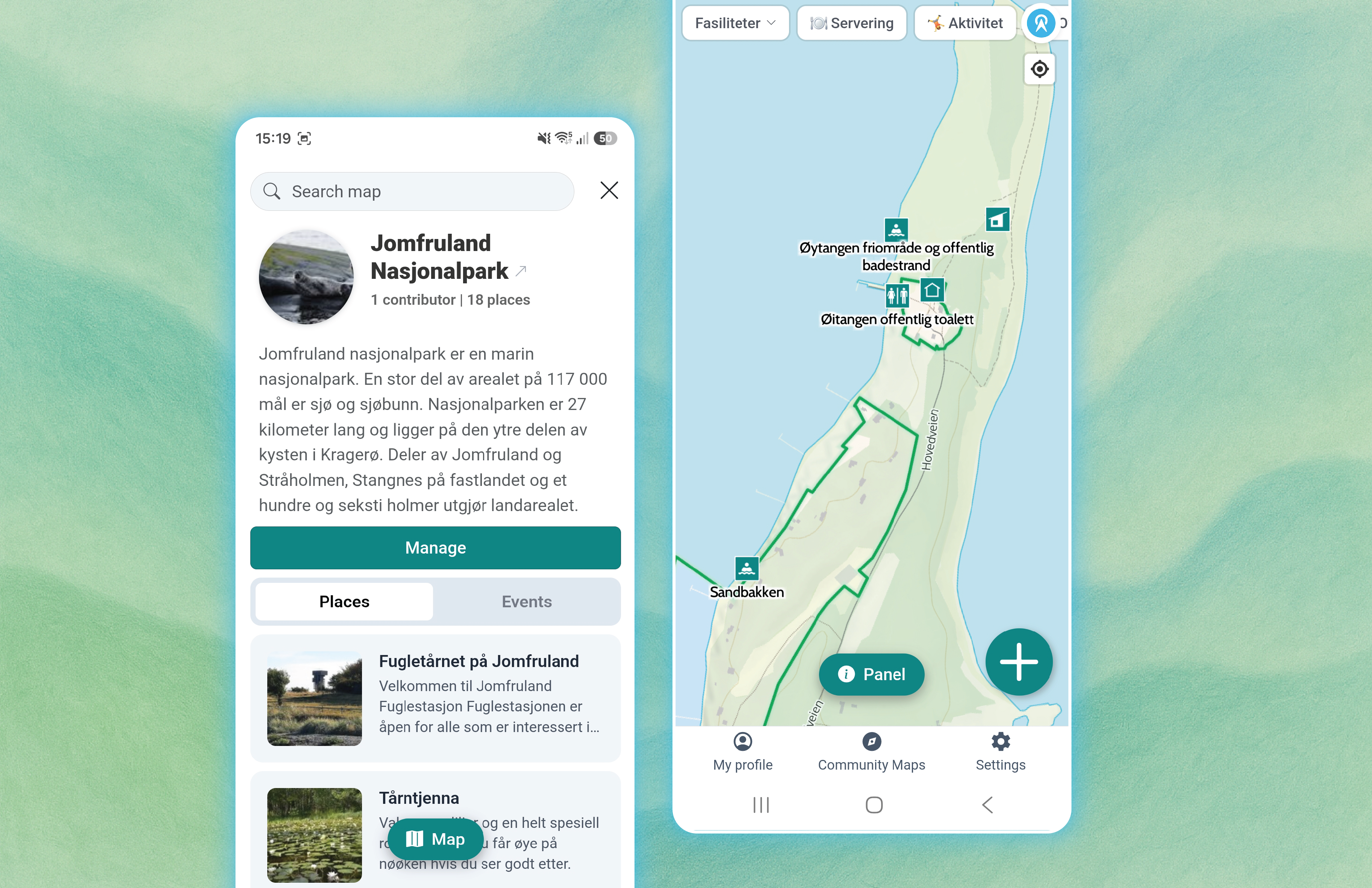
Designed to work just as well on a phone in the field as on a desktop at the visitor centre. Every place is automatically translated into 11 languages so international guests get the same information, and you can group places into clear collections. Meta tags and structured data help search engines and AI assistants find and recommend your area.
- Mobile-first design. Great on phones and desktop, with native iOS and Android apps
- Automatic translation into 11 languages
- Group places into themed collections
- SEO & AEO optimised for search engines and chatbots
Drop your map into your own website and track it
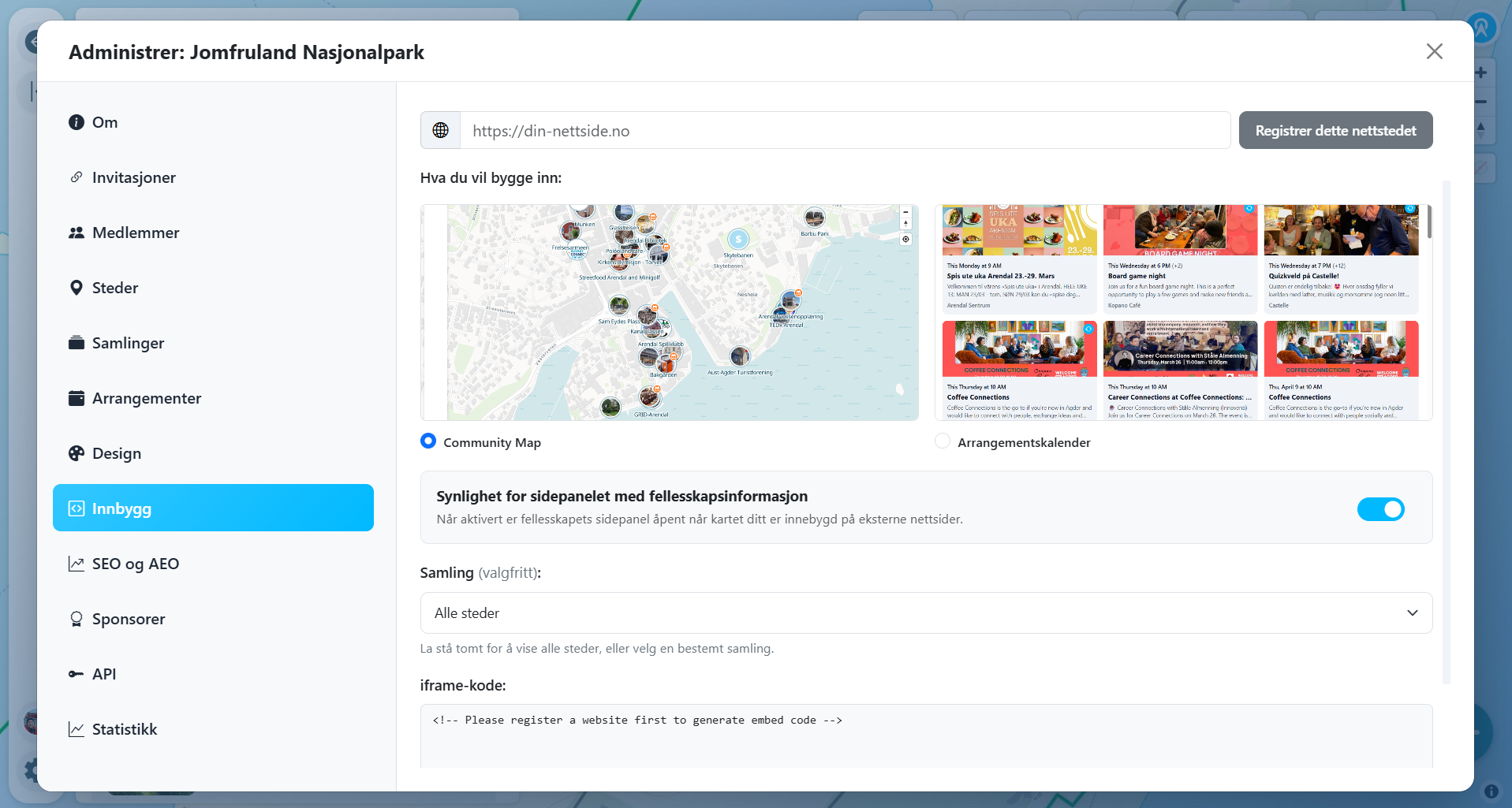
Embed the entire map, or just a selected group of places, into your own website in minutes. Then track exactly how visitors use it with built-in analytics, so you can see what people are looking for.
- Embed the full map or a selected collection
- Built-in usage analytics
Ready to put your area on the map?
Get started on your own community map now, or book a demo and we'll walk you through a preview.