A few cookies help us improve Places. We don't sell your data or use them for ads.
Privacy policy
Reject
Accept
Skip to main content
Sign in
Get Started
About
Who is it for?
For destinations
For visitor centers and tourist offices
For parks & nature
For national parks and protected areas
For cities
For city centers and local business organizations
For communities
For interest organizations and communities
Help
Community Maps
Community Maps
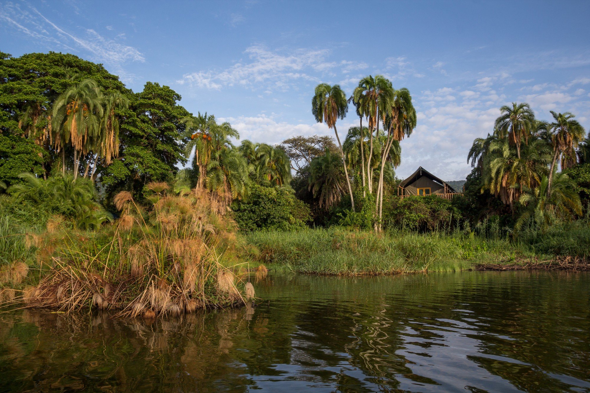
Akagera National Park
© John Dickens / African Parks
Akagera National Park
Location
-1.63715, 30.70928
Copy link
Google Maps
Featured in:
African Parks
About place:
Akagera National Park is Central Africa’s largest protected wetland and the last remaining refuge for savannah-adapted species in Rwanda.
Read more
Explore the park
View on African Parks
Link copied!